How have Nepal’s floods impacted hydropower plants in Rasuwa?
In July 2025, a flood damaged or shut down all seven hydropower plants mapped below. All seven were running or under construction when a second flood hit them in August 2026.


On Aug. 26, 2026, a flood came down the Bhote Koshi in Nepal's Rasuwa district and washed away the Rasuwagadhi hydropower plant. Nepal's disaster authority counted 1,451 dead and listed 5,745 people as missing as of Sept. 21. It was the second flood to hit the plant in just over a year. Early on July 8, 2025, a lake on a glacier in Tibet drained into the same river and severely damaged the plant's headworks.
We wanted to understand what happened to the hydropower plants on this river between the two floods and the time it took to get each plant repaired and running again. We traced both floods down the river and followed the seven plants in their path. Use the arrows below, or click a date, to move through the timeline.
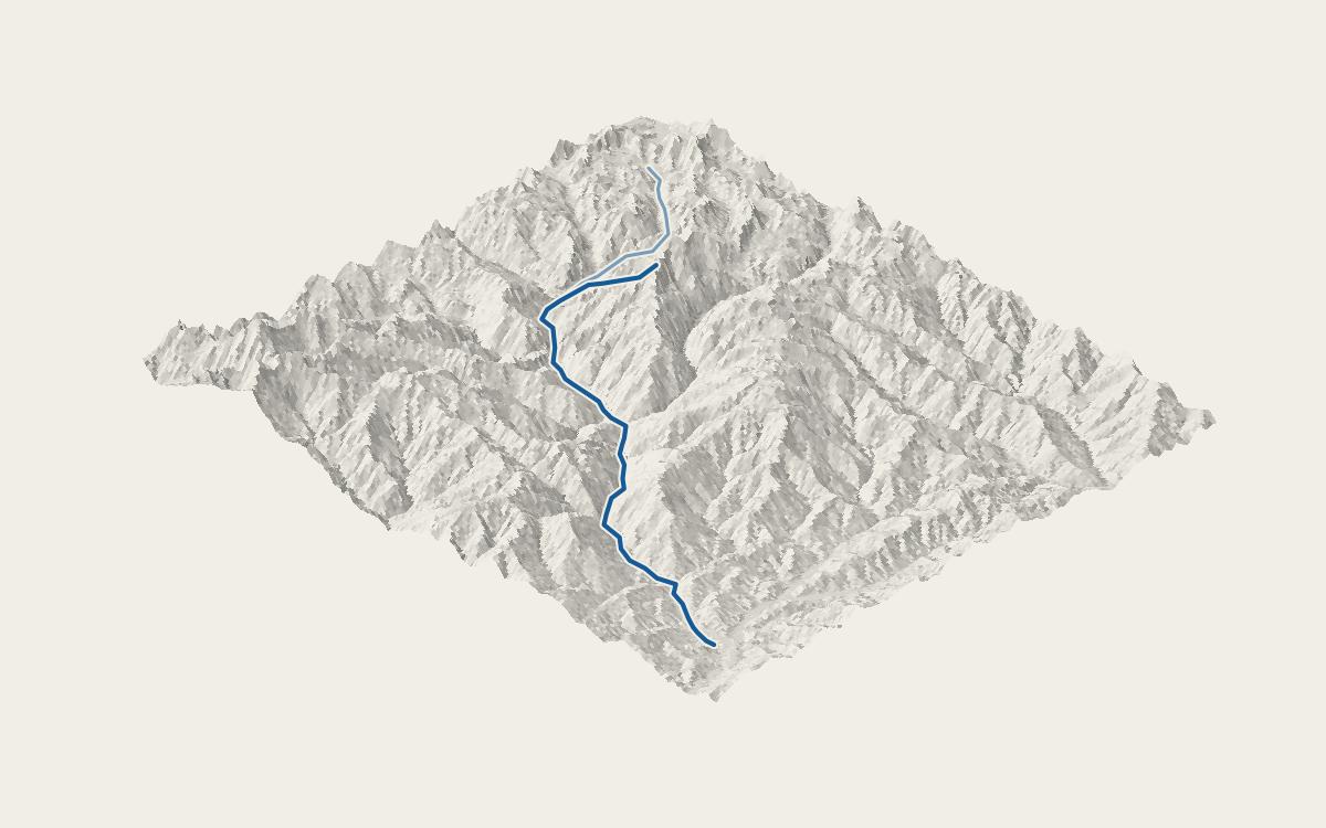
Five of the seven plants were running: Rasuwagadhi, Chilime, Trishuli, Devighat and Upper Trishuli 3A. Upper Trishuli 1 and 3B were under construction.
- 1Rasuwagadhi 111 MW · running
- 2Chilime 22 MW · running
- 3Upper Trishuli 1 216 MW · under construction
- 4Upper Trishuli 3A 60 MW · running
- 5Upper Trishuli 3B 37 MW · under construction
- 6Trishuli 24 MW · running
- 7Devighat 14 MW · running
A rapid hazard assessment of the Purepu lake, dated July 9, 2025, the day after the first flood, said the lake “still holds a lot of water” and that “recurring events are a possibility within 2025.” It rated the likelihood of more outburst floods in the region, set off by heat, heavy rain, landslides or earthquakes, as relatively high, and called for closer monitoring and for China and Nepal to share information. It traced the flood to the border, but did not assess the hazard to the plants downriver.
We found no public assessment of the flood hazard at any of the seven plants before they restarted or construction resumed. We searched government, lender, company and court records, and news reports in English and Nepali, up to Sept. 29, 2026. The documents we did find describe damage and repairs. After the first flood, the Nepal Electricity Authority's executive director said Trishuli and Devighat had no significant damage and could restart after cleaning. Upper Trishuli 1 has an independent panel of experts, which the Asian Development Bank requires. After a May 2025 site visit, two months before the first flood, the panel wrote that a climate resilience assessment it had recommended “was not launched yet.”
Semitone is a design engineering studio for climate and civic tech. We work with multilaterals, government agencies, climate startups and research groups to turn complex data into tools people can act on.
This is a Noodle: a short, experimental piece on a topic we’re curious about.
If you have thoughts or feedback, data we missed, or ideas for taking this further, we’d like to hear from you.
Get in touchHow we made this
Data
- Global Hydropower Tracker, Global Energy Monitor, March 2026: each plant’s location, capacity and status. CC BY 4.0.
- HydroRIVERS v1.0, Lehner & Grill 2013: the river network. Each flood line follows it downstream from where the flood’s sources say it began, to the farthest plant on this map that they report damaged. This product incorporates data from the HydroSHEDS version 1 database which is © World Wildlife Fund, Inc. (2006–2022) and has been used herein under license. WWF has not evaluated the data as altered and incorporated within this page, and therefore gives no warranty regarding its accuracy, completeness, currency or suitability for any particular purpose. Portions of the HydroSHEDS v1 database incorporate data which are the intellectual property rights of © USGS (2006–2008), NASA (2000–2005), ESRI (1992–1998), CIAT (2004–2006), UNEP-WCMC (1993), WWF (2004), Commonwealth of Australia (2007), and Her Royal Majesty and the British Crown and are used under license. The HydroSHEDS v1 database and more information are available at hydrosheds.org.
- Terrain Tiles, AWS Open Data (Mapzen): the valley’s elevation, drawn with heights exaggerated 1.5 times. SRTM and GMTED2010 terrain data courtesy of the U.S. Geological Survey; ETOPO1, U.S. National Oceanic and Atmospheric Administration.
- Damage, restarts and the record search: news reports in English and Nepali, the Nepal Electricity Authority, Nepal’s energy ministry, the Asian Development Bank and the Rasuwagadhi company, linked where they are cited above. Deaths and missing: Nepal’s disaster authority.
Tools
- Processing: Python, openpyxl, pyshp, NumPy, Pillow, Matplotlib
- Visualization: three.js, React